Northeast Area Structure Plan
This plan will guide future land use, transportation, and infrastructure decisions for the northeast portion of Town.
Northeast Area Structure Plan
This plan will guide future land use, transportation, and infrastructure decisions for the northeast portion of Town.
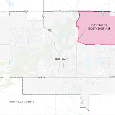
The Town is developing a new Area Structure Plan (ASP) for approximately 778 acres in the northeast portion of the Town. The ASP will provide a comprehensive framework to support and guide future growth and development. This long-term plan will guide future land use, transportation, and infrastructure decisions for the northeast portion of Town over the next 15 - 20+ years.
The Town is committed to providing timely information about the Northeast ASP and giving multiple opportunities to provide feedback. Interested in helping shape the Northeast Area Structure Plan? We want to hear from you!
Round 3 Engagement is Complete
We appreciate everyone who joined us at the June 23 open house and shared their thoughts through the online survey.
Your feedback is an important part of shaping the Northeast Area Structure Plan. The project team is now reviewing all comments and will be preparing a What We Heard Report summarizing what we heard from the community.
- View the draft Northeast ASP
- View the Round 3 information boards
Next Steps
Public input collected during Round 3 of engagement will help inform updates to the draft Northeast ASP prior to the Town’s approvals process. The final proposed ASP will be posted on the project website when it is available.
We're here to help, contact us!

309B Macleod Trail S.W., High River, Alberta

planning@highriver.ca

403-652-2110
Round 1 Engagement Round 2 Engagement Project Background